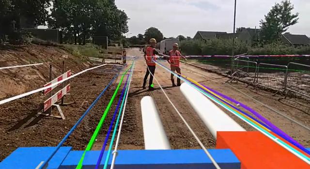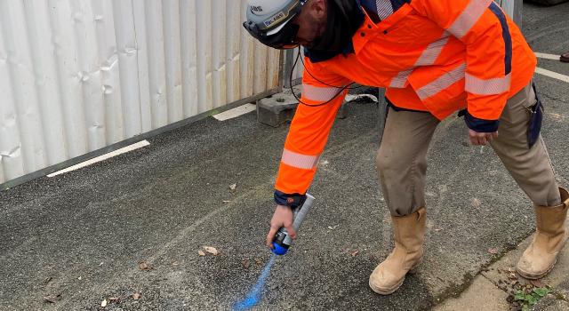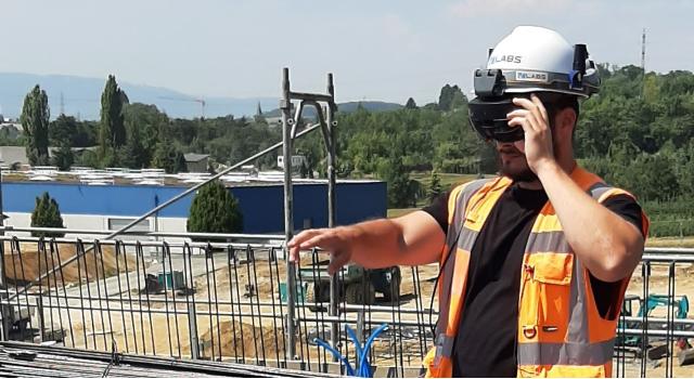
V-Labs is a Swiss based startup that has developed GNSS/RTK-integrated (cm accurate GPS) Augmented Reality solution for AR-glasses allowing our users to visualize, measure and modify geospatial data with centimeter accuracy in the field. For example, our users can visualize GIS-data of underground cables and pipes, but also BIM-data (3D models) for construction projects.
Thanks to our patented technology and new feature for step-by-step work instructions, surveyors, contractors and engineers can digitize fieldwork, increase efficiency, verify engineering plans and avoid costly errors during construction.
References:
Product video: https://youtu.be/bz4SUBDn1TI
Romande Energie: https://youtu.be/K21ofAhADwg
Deutsche Bahn: https://www.youtube.com/watch?v=W6ngfamu7iU&ab_channel=V-Labs
News